المدونة
3D Surveying and its Applications in Urban Planning - Excavation Contractor 0505770300 - Road Supplies for Contracting
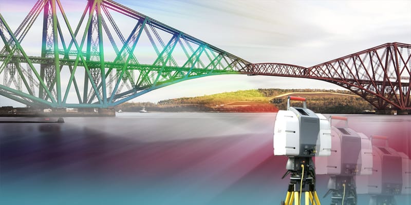
3D photogrammetry is one of the most advanced and precise tools in urban planning. It provides accurate topographic data that enables planners to comprehensively visualize and analyze the urban environment. 3D photogrammetry has become an indispensable tool in modern urban planning, contributing to the construction of sustainable, efficient, and resilient urban environments.

The best surveying company in Riyadh - Al-Tariq Supplies Contracting Est.
Surveying is an essential component of infrastructure development, real estate project planning, and civil engineering. With Riyadh's rapid urban growth, the need for specialized surveying companies has become more urgent than ever. In the heart of the Saudi capital, Riyadh, Tariq Supplies Contracting Company stands out as a pioneer in the field of surveying and advanced surveying services.
The Importance of Surveying in Planning and Implementing Urban Projects - Tariq Supplies Contracting Est.
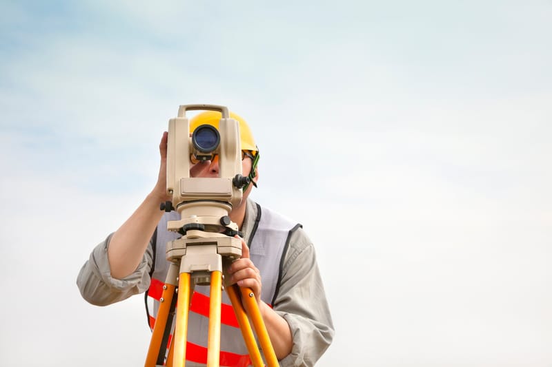
Surveying is one of the cornerstones upon which the success of any urban project is built, whether residential, commercial, industrial, or infrastructure. Design or implementation work cannot begin without a precise knowledge of the nature of the land, its boundaries, and its topographical characteristics. Surveying is the science and art that provides accurate data on locations, dimensions, elevations, and slopes, allowing for efficient planning of urban projects and reducing the risks and costs associated with engineering errors.